Hike the Trail
TRAIL STATUS
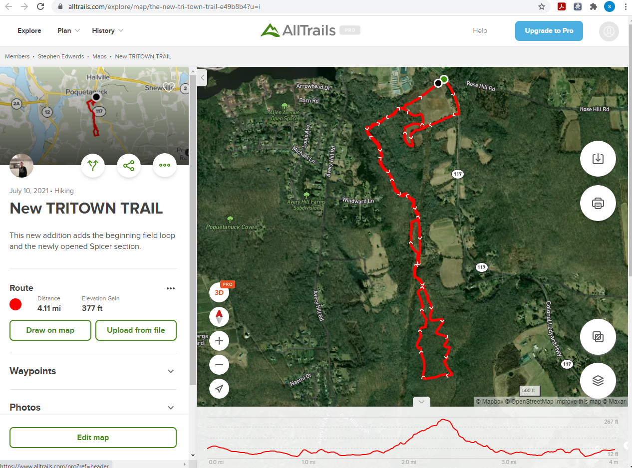
The Tri Town Trail North section is currently a hiking path that’s 4.1 miles round-trip.
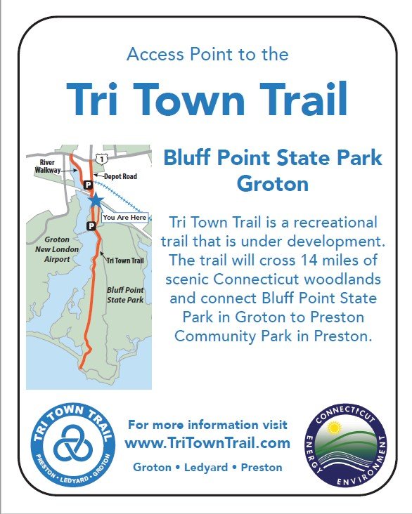
The Southern section of Tri Town Trail is composed of the preexisting Poquonock Bridge Board Walk to the Bluff Point State Park access trail continuing down the fire road to the Point.
Trail Map - Northern Section
The Ledyard - Phase One section is nearly complete! This is the northernmost section of the Tri Town Trail. Right now, it’s a 4.1 -mile round-trip hike. To access the trail, park in the field on Route 117 in Preston directly across from Preston Community Park (10 Lincoln Park Rd Ext, Preston, CT 06365).
Trail Map
Southern Tri Town Trail
Trail Photos


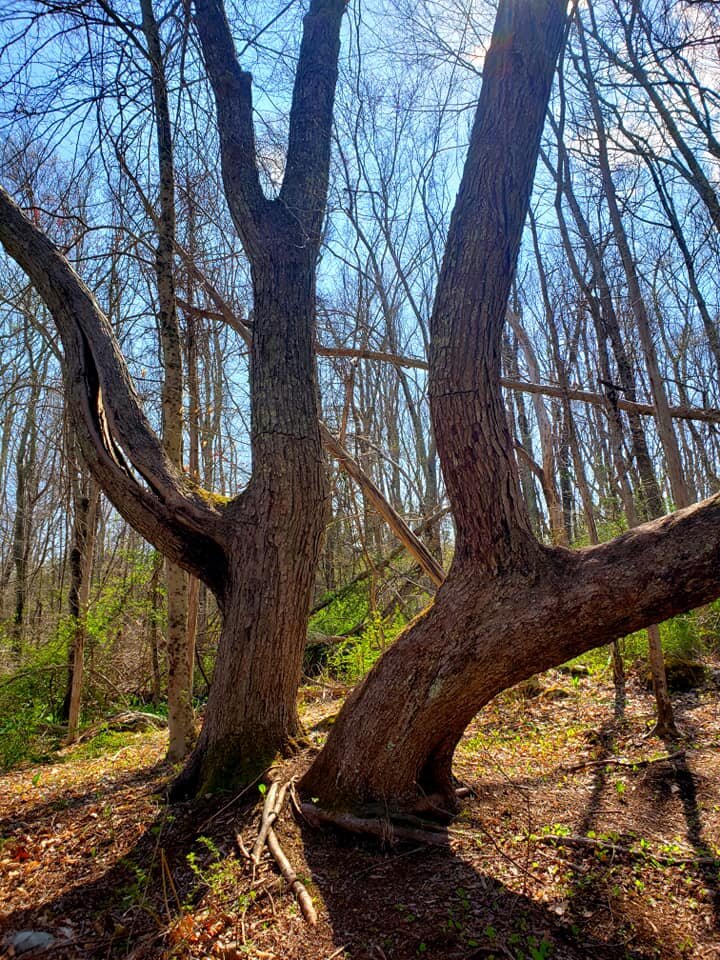
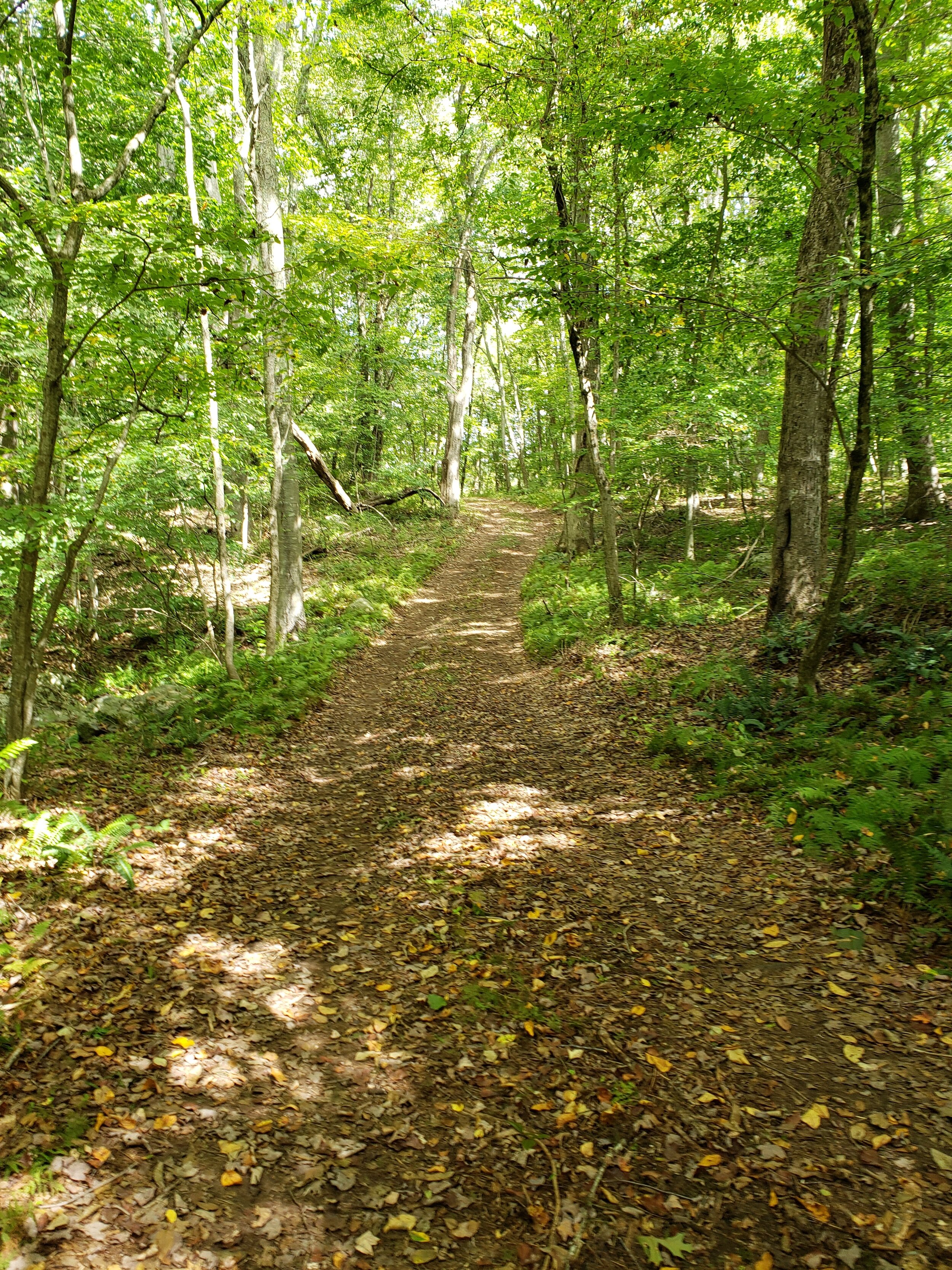
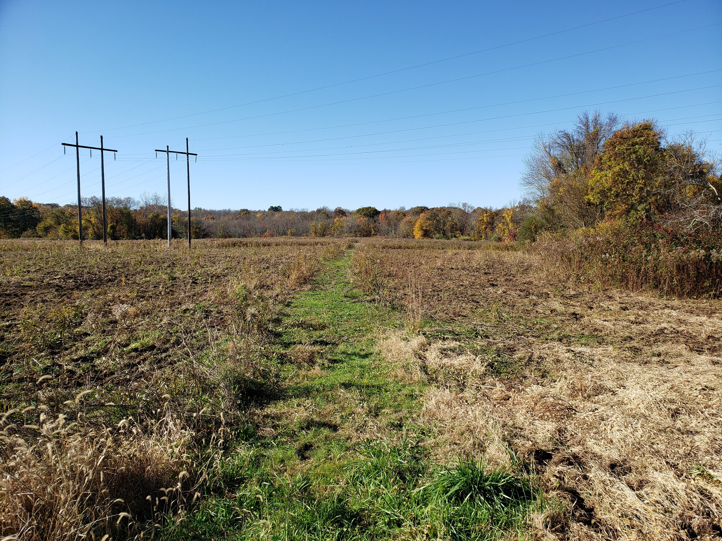


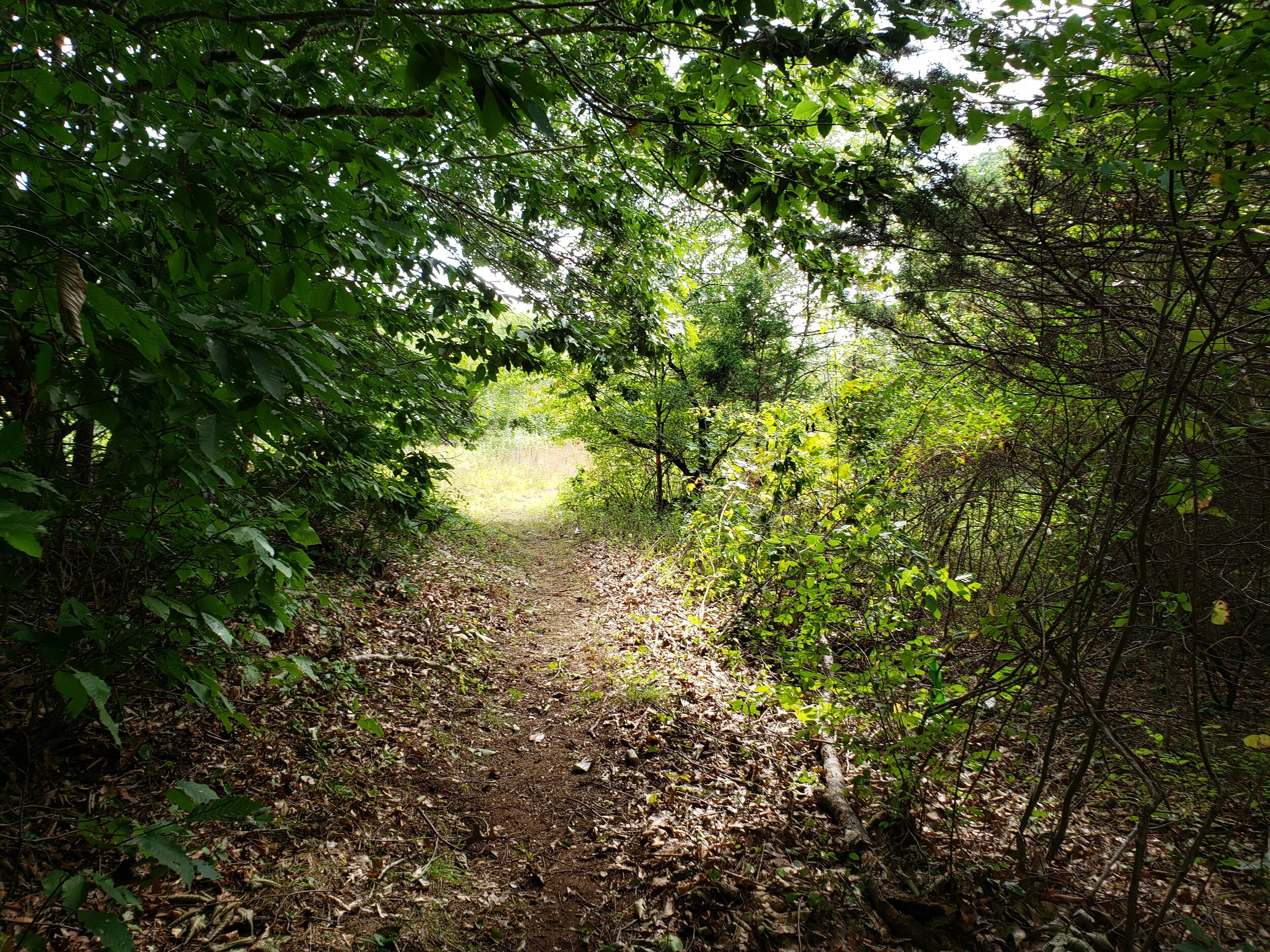
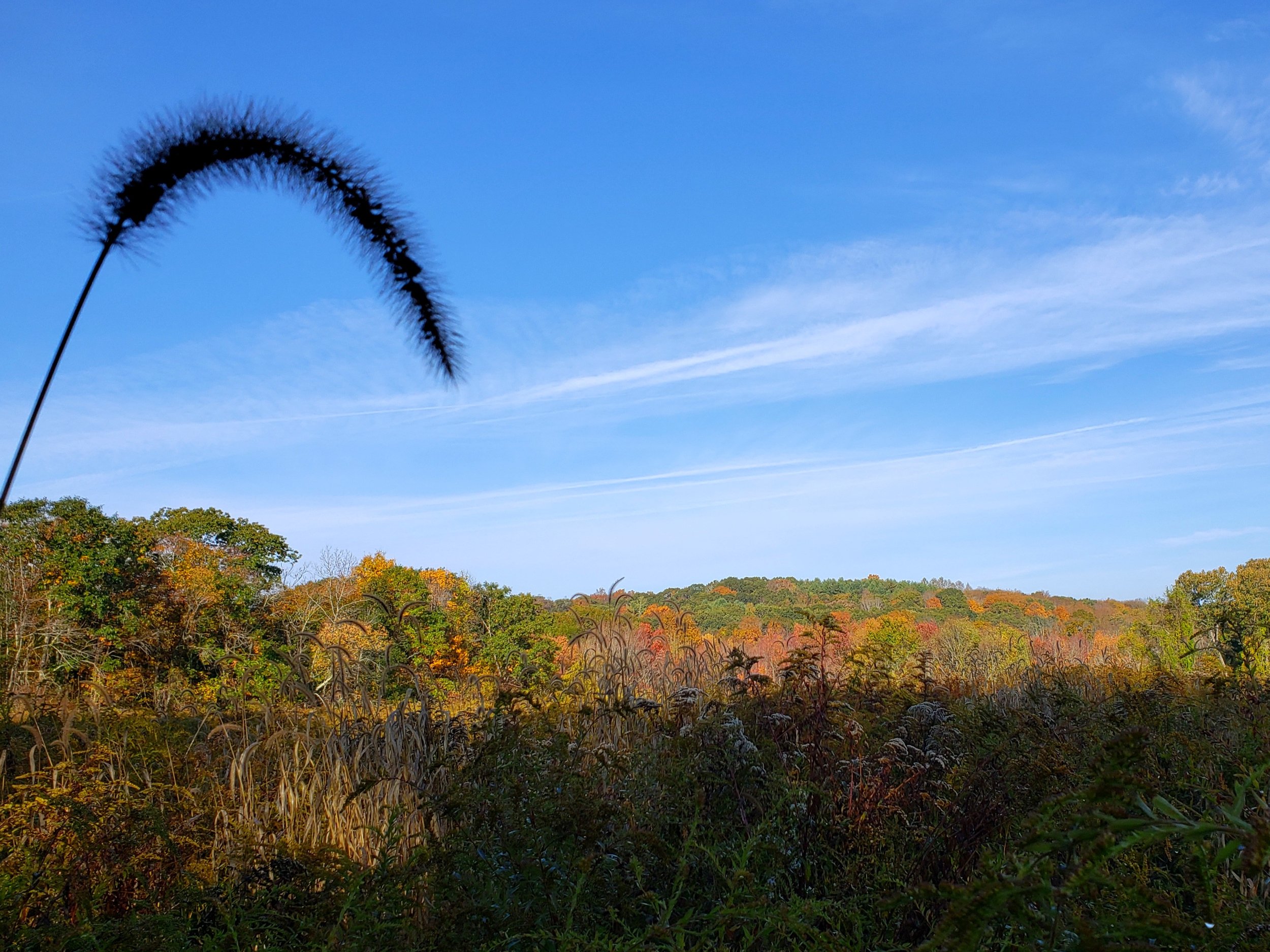
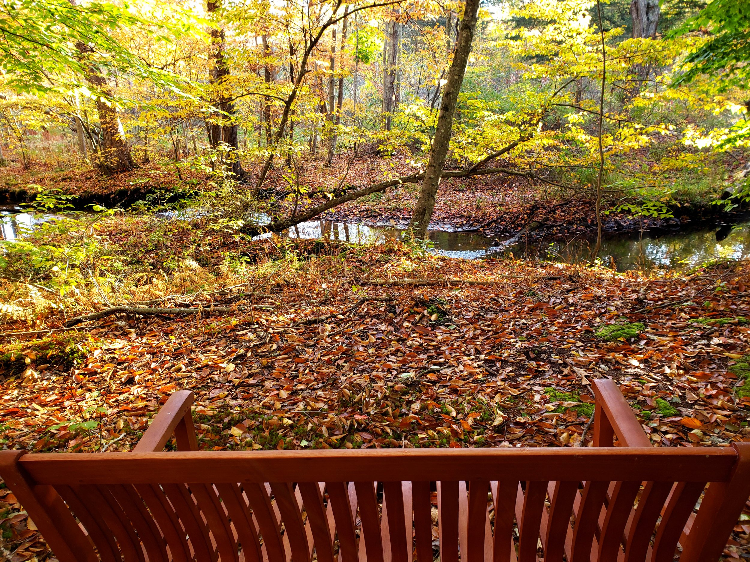

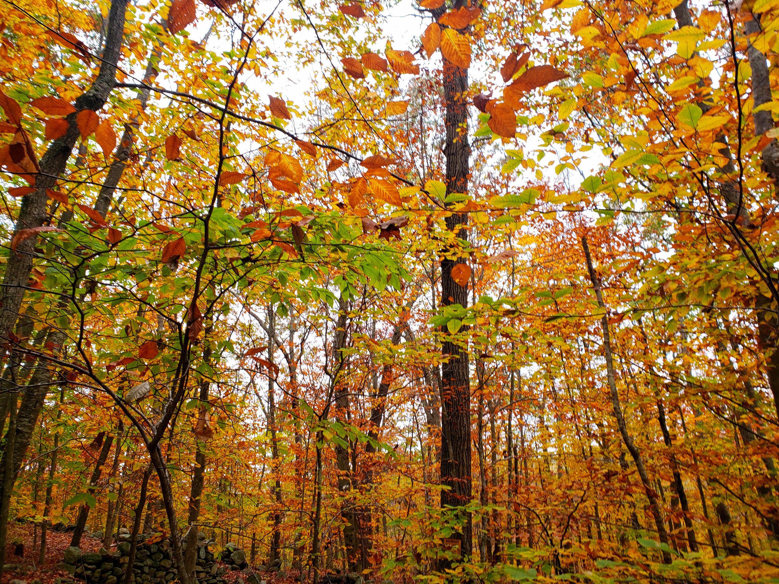


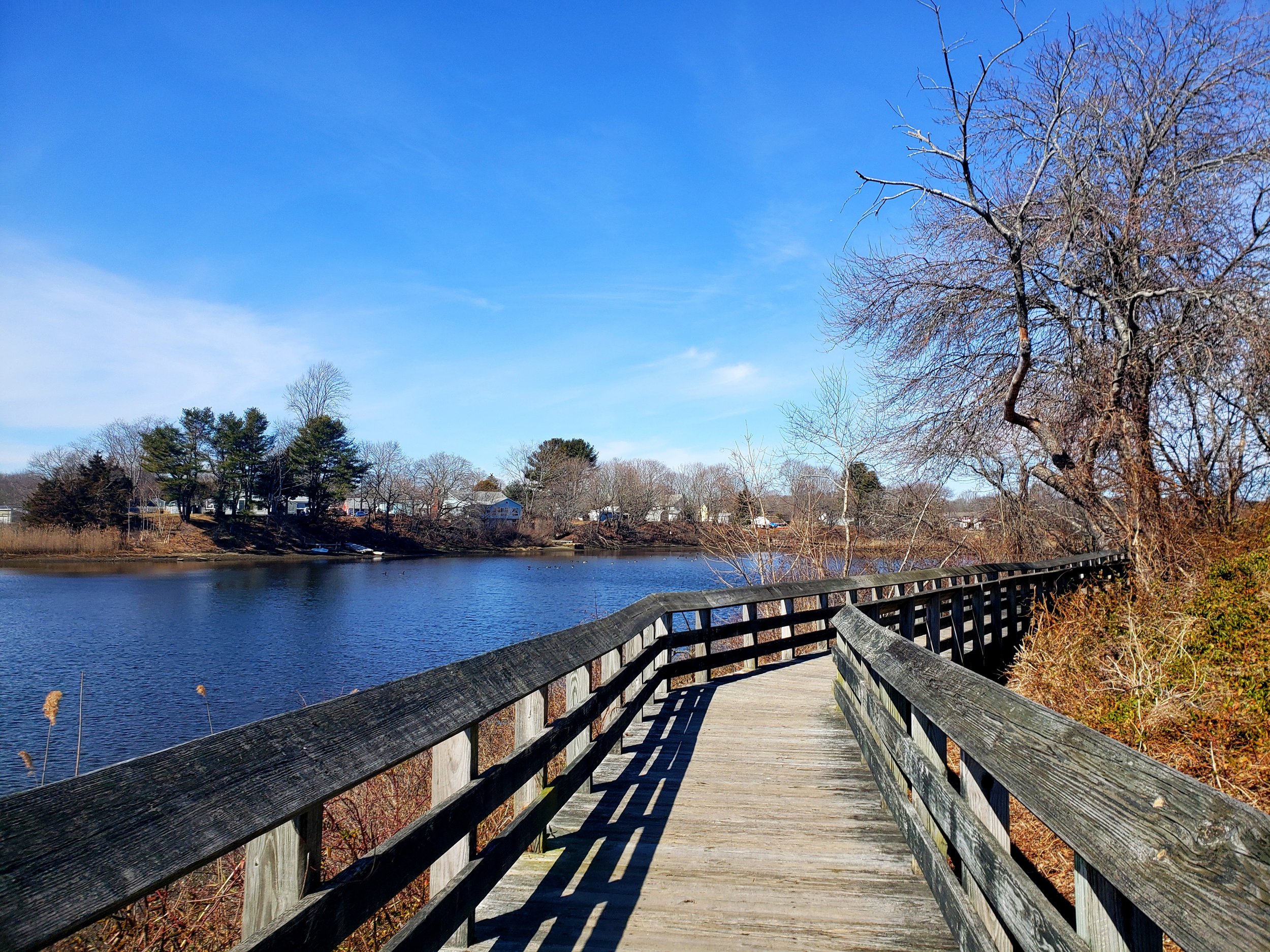


Take a virtual hike.
Watch a recorded hike of the Tri Town Trail - northern section with photos and gpx data overlaid onto aerial imagery.
Get even more trail data.
For data about the Tri Town Trail that’s been collected and shared by people like you, visit AllTrails. AllTrails is an online trail database and mobile app for people to record trail data, trail length, elevation gain, difficulty, photos, and reviews.

“The hike is terrific!”
“I had the opportunity to visit the northern section of the Tri-Town Trail before work on it began and visited again this week. The hike is terrific, the scenery and wildlife wonderful, and the topography and natural beauty only adds to the appeal of this hike. I look forward to seeing the trail extend south, allowing hikers to enjoy even more of this beautiful land!”
— Fred B. Allyn III, Mayor of Ledyard
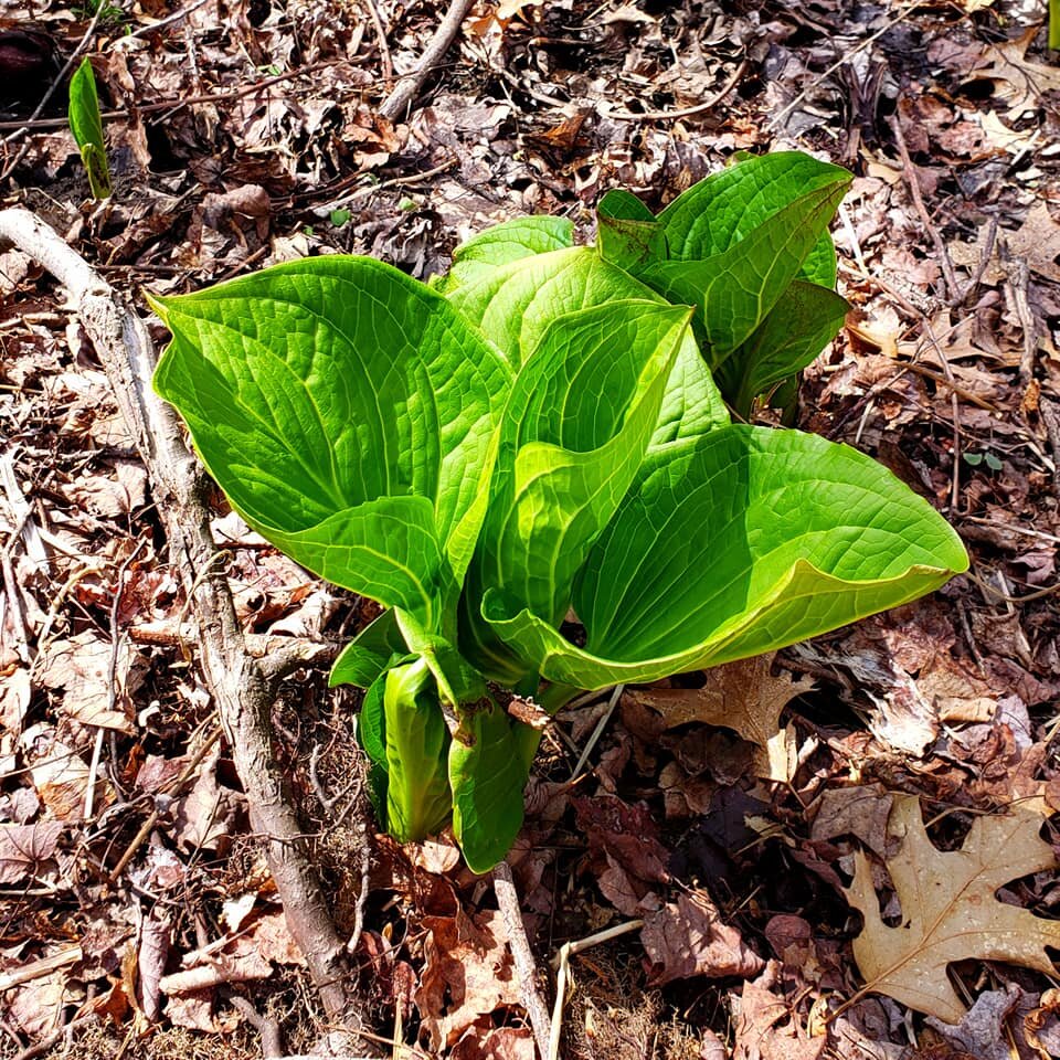
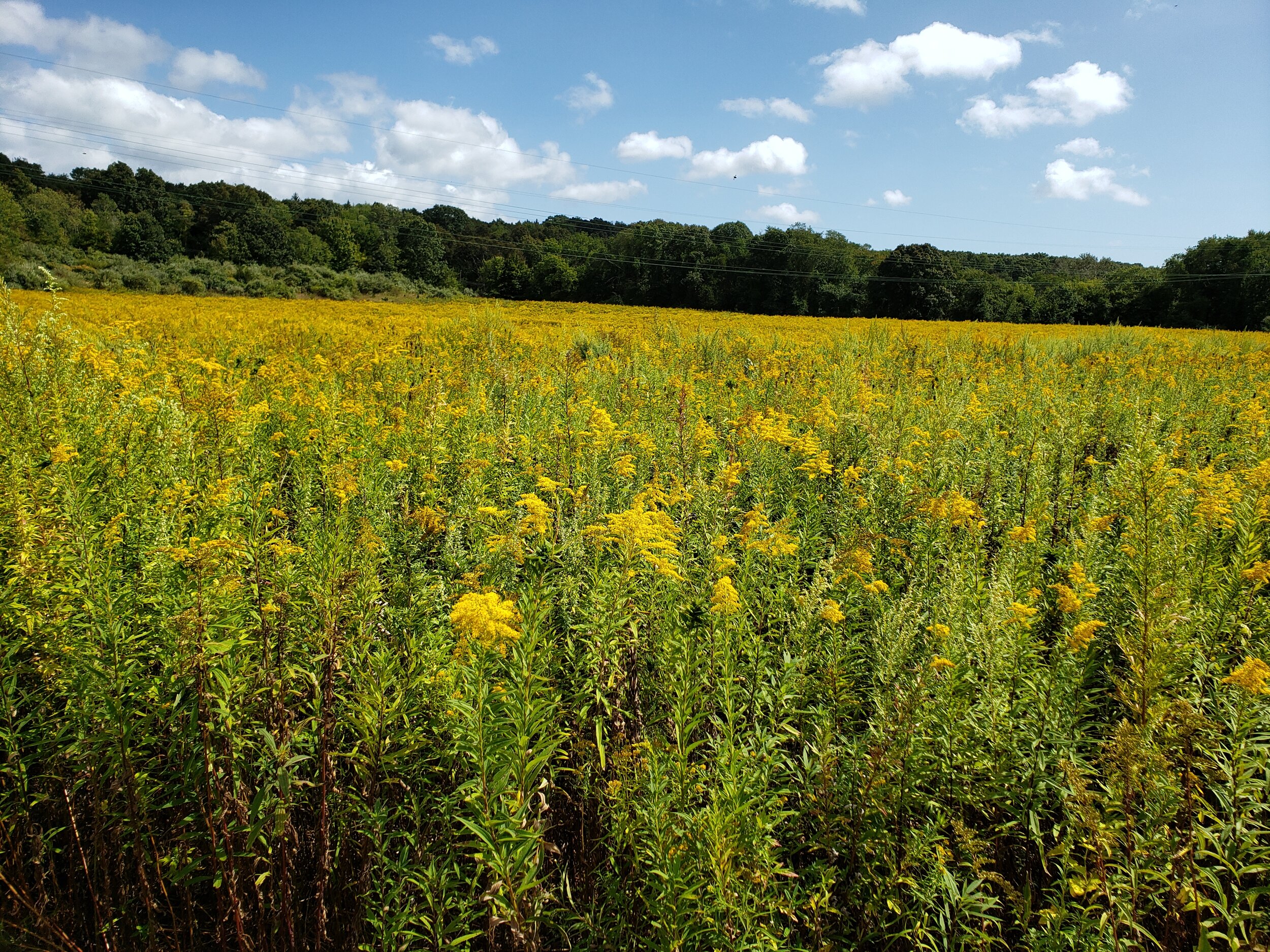
Plant and Animal Biodiversity






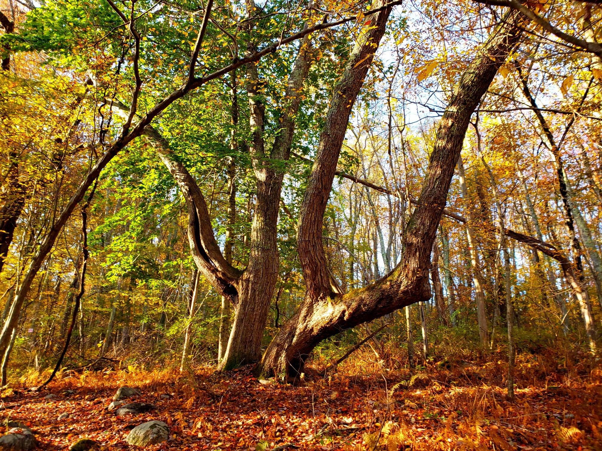
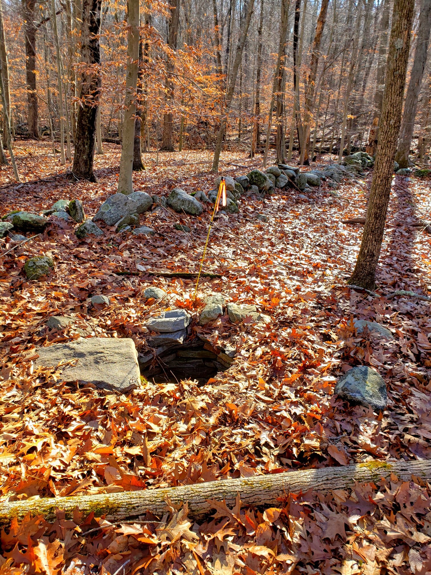
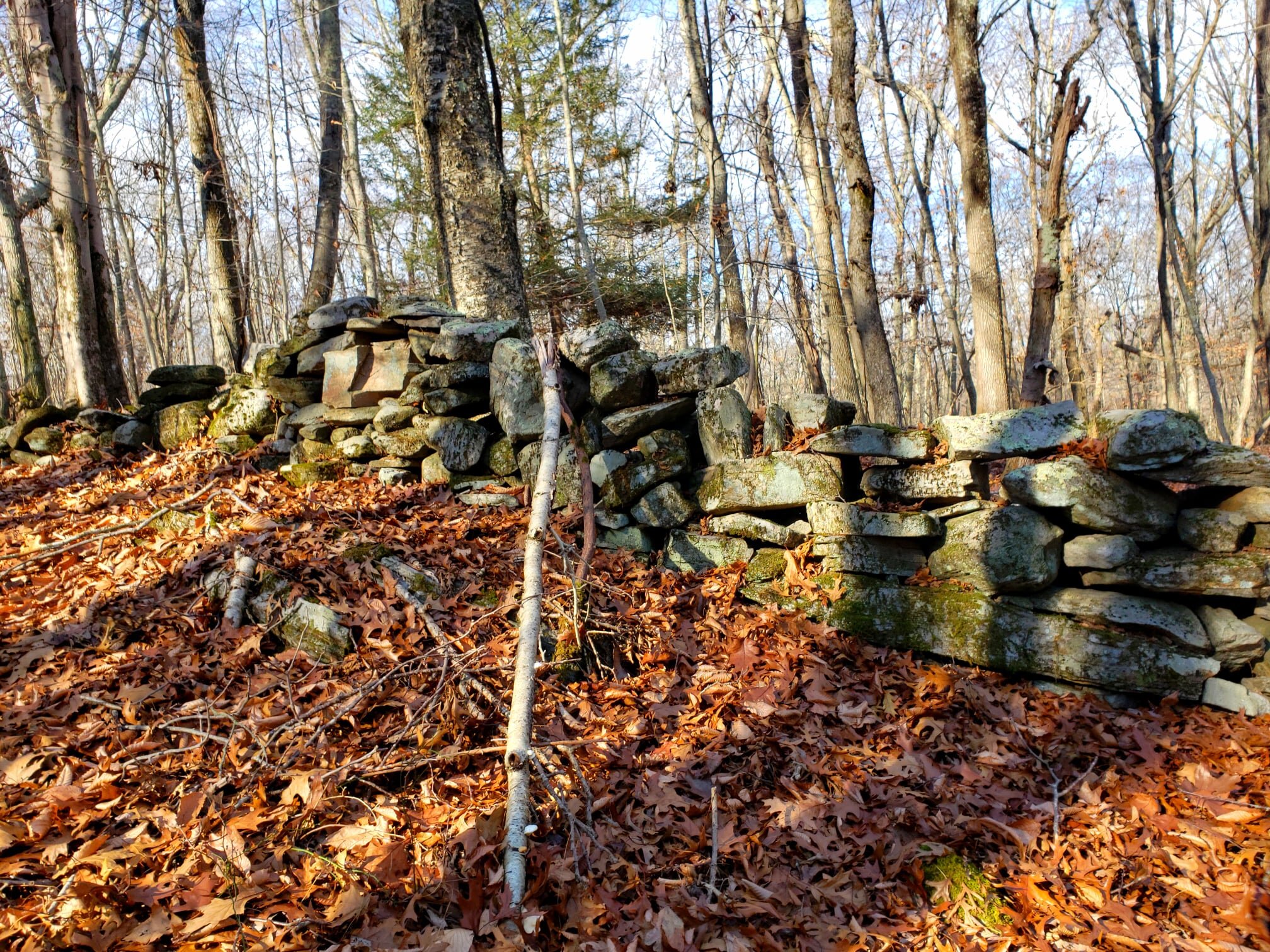
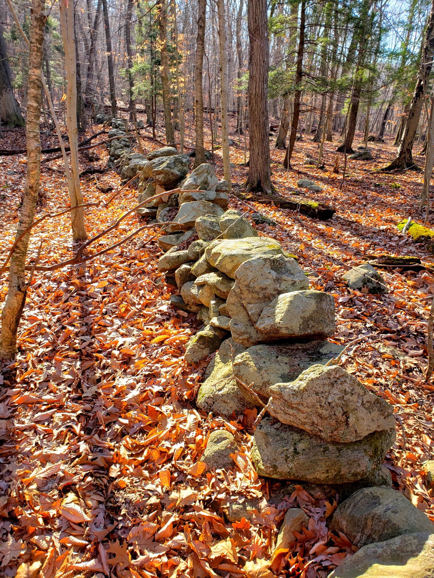
Historical Sites




Where will the trail start and end?
FUTURE TRAIL START
Preston Community Park in Preston, CT
FUTURE TRAIL FINISH
Bluff Point State Park in Groton, CT

When will all 14 miles of the Tri Town Trail be complete?
That’s a great question. If you asked Karen Parkinson, President of the Tri Town Trail, she would say hopefully in her lifetime. The real answer is: no one knows when the Tri Town Trail will be complete. It depends on many variables. Finishing the trail will require partnerships or easements with private and public land owners and cooperation from individuals and organizations. It will also require an army of volunteers, support from the community, and funding. Great progress has been made in the recent past, but the goal is yet to be achieved.


